
Above: canoeing landing spot is circled. Colored code map is from canoeing association Fédération Québecoise de Canot-Camping

Above: Chatauguay river. The Chatauguay river is a primary tributary of the St-Lawrence river. Just a look on the space remaining bellow the bridge gives a good idea of how high the water level is.

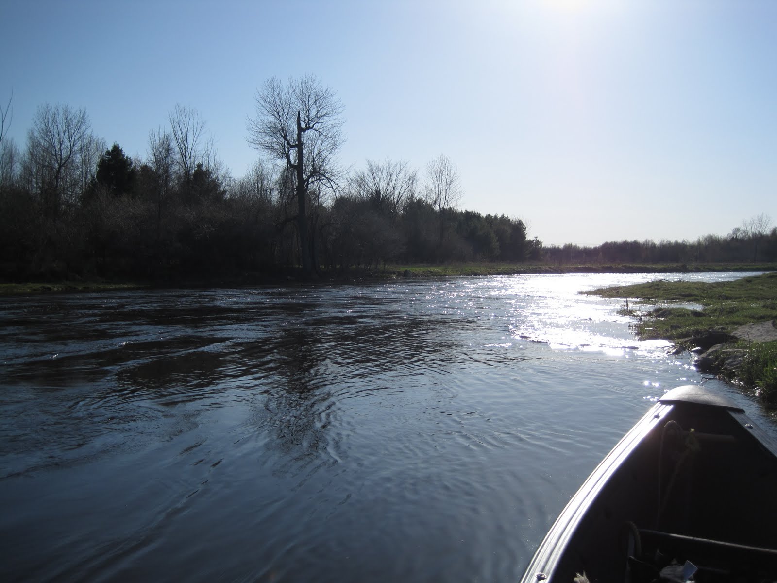
The Chatauguay runs in farmland country. Despite its general smooth slope the river has generally good current and on several occasions stretches of R1-R2. I was told that dams are present when the river goes trough towns.

Nice spot to rest under the trees and away from the current.
Time to go back. The ride will be much more easier. Paddling upstream is such a high energy leisure but
you dont depend on others to get the car back as when you go downstream. And at the end of the day there is the final reward.
No comments:
Post a Comment