Monday 25 April 2011

canoeing Bruce peninsula on Lake Huron

Pictures here are only from 3 days exploratory trip done last summer. It appears for me from that trip that Bruce peninsula has great potential. But it can be potentially very dangerous. I would not encourage anyone with limited experience to explore that area with a canoe. Winds can be very deceptive since there are so many coves and bays that gives a false impression of security. Wind could potentially make someone drift in the open and make someone end up who knows were. But canoeing in waves can be a lot of fun if someone is wise. My philosophy is to always paddle counter wind and use either the western or eastern coast of Bruce peninsula according to wind direction. If wind blows west use west coast if wind blows east use east cost. In that case the wind will make you drift if you cant paddle anymore toward the coast your at. Next summer we plan to go for 10-14 days and for sure the next season pictures will be far more spectacular.


Landed canoe at Dunks Bay near Tobermory. Apparently sea kayak can cross to the islands on the pictures. I have red that coast guard there suggest kayakers bring for 3 days food supply in case they are stuck on the islands because of too strong winds. There is no way someone is going to convince me to go to these islands. I respect too  much mother nature. We will stick to the coast. Coast at Bruce is great, why bother crossing.


Landed canoe at Little Cove near Tobermory. Followed the coast on the east side of the cove. Spots for resting not always there when you need them. Keep them in mind when you see them as you go along the coast so that you can go back if necessary. This was the only spot on the whole section seen on the picture. The waves braking where we were almost carried away our canoe as it was sitting further down on the picture.


We canoed the coast half way up as shown in picture and then came back were our canoe sits. The original goal was to go to the point at the end of the cove. Wind (what wind would someone say) was strong enough that we were not sure we could come back inside the cove. This was typical deceptive Bruce peninsula wind. Seems ok from our resting spot but toward the point it was pretty scary.
More next summer.

Sunday 24 April 2011

Canoeing in Mont-Tremblant park Pimbina section

Mont-Tremblant park has 3 sections with 3 entrances. Pimbina  section is less crowdy than Diable section (near the ski resort). Pimbina entrance is north of St-Donat which is 1:15 hr drive north of Montreal. Canoeing the Forbes lake (ancient name for this lake) is prototypical of honest size Laurentian lakes. Forbes is the largest lake north of the Pimbina gate. Dirt roads in the park are normally well maintained and the dirt road starting at Pimbina gate allow someone to connect to St-Michel des Saints more north where the Mattawin river ends in Taureau reservoir. Mattawin river as several nice spots for R1 R2 upstream when you get to the river from the dirt road. Saint-Michel des Saints area can get crowdy with speed boats on the reservoir in the summer.


The Pimbina creek and fall near the gate. Pimbina is an indian name for a red berry shrew that grows well there. Also the area around the fall is full of wild roses.


Prototypical Laurentian landscape. Cant be more textbook than this. Almost every lakes are connected by creek and small rivers in the Laurentian mountains so someone adventurous could easily plan a little canoe trip that would give someone the impression to be a pioneer discovering a new land. All you need is a topographic map of the area to see what is connected to what. For topographic maps of Quebec go to Les Quatres Points Cardinaux in Montreal corner of Ontario and St-Hubert streets.

Saturday 23 April 2011

Canoeing the lower Batiscan river

The Batiscan river ends its course in the St-Lawrence river between Trois-Rivière and Quebec city near the small town of Sainte-Genevièvre-de-Batiscan. Today we went more upstream at Notre-Dame-de-Montauban. For canoe landing coming from the south cross the bridge over the Batiscan river at Notre-Dame-de-Montauban, turn right after the bridge and follow the sign for the municipal parking. We went canoeing upstream the river from our parking spot. That was the only option since downstream there is a fall.

Above: canoeing landing spot is circled. Colored code map is from canoeing association Fédération Québecoise  de Canot-Camping


Contrary to the sandy Ste-Anne river banks (Ste-Anne flows just east of the Batiscan river), the Batiscan river banks are very rocky. The Batiscan river is a primary tributary of the St-Lawrence river.
Another train bridge. There is actually a rail track that follow the Batiscan river and its possible to plan with Via Rail company a train ride that drops you and your canoe directly on the river (look at Montreal-Saguenay train line at Via Rail for schedule and planing)


At several spots on the Batiscan river the rail track crosses the river and allow to see these fascinating structures. Its all of carved stones and hardcore iron beams. 

Canoeing the mighty St-Lawrence river at Cap-Santé

The St-Lawrence river is one the biggest river in the world and one of the most dangerous for cargo boats. International cargo entering the river from the sea are asked to give the steering wheel to the localy trained pilot. The dangers are shallow waters, high tides, deceptive currents, high wind and waves. Tides can be observed as much upstream the St-Lawrence river as to the city of Trois-Rivière.

Cap-Santé is on the north shore of the St-Lawrence river around 50 km upstream Quebec city. Canoe landing is possible from Cap-Santé municipal quay.


Above: canoeing landing spot is circled. Colored code map is from canoeing association Fédération Québecoise de Canot-Camping.


View from the quay. Car came down from where the church is.


Cool I love trains. There is a rail track along the north shore of the St-Lawrence river.


The rail track was made possible thanks to dynamite.


Dynamite signatures.


Cargo on the St-Lawrence river at high tide.


St-Lawrence river at low tide. Not the lowest yet. 


Are these two cargo going to collide? Of course not. That day at 17:00 pm was high tide and high wind. Still went canoeing with extreme prudence. We followed the shore and went counter wind. Still this river is very unpredictable and wind suddenly changed direction. We could not paddle to get and we need to portage on the shore. First time of my canoe life I was forced to portage on a shore.


View of the shore we portaged on. View is from the quay on quieter day.


The nice bleu house beside Cap-Santé quay.


View of Cap-Santé church and municipal quay from the St-Lawrence river.


Cargo in sight. View from canoe.


Stream ending its course in the St-Lawrence river 1-2 km upstream the quay.


Going counter wind (always) for a safe come back.

Canoeing bottom part of the Ste-Anne River

Ste-Anne river ends in the St-Lawrence river on its north shore between Trois-Rivieres and Quebec city. The village were the St-Anne river ends is called Ste-Anne de la Pérade. In winter ice fishing in heated cabins allow to fish Poulamon which is a small cod. Apparently one billion Poulamon comes in the river from the St-Lawrence every winter. Poulamon are found only in the Ste-Anne river which is bizarre since there are like maybe 20-30 different rivers ending in the St-Lawrence that they could have choose.

Ste-Anne de la Perade has a totally disproportionate basilica considering the size of the village. Someone can land its canoe after crossing the bridge over the St-Anne river that leads to the village. Turn right after the bridge and go park to the information center. We went upstream that day. Downstream will lead you to the end of the river and into the St-Lawrence river (cant be a river, its so dawn large !!!!).


Above: canoe landing spot is circled. Colored code map is from canoeing association Fédération Québecoise de Canot-Camping.


Such a big church for such a small place is kind of unreal. This is not exceptional in Quebec small town. It is actually pretty common.

Friday 22 April 2011

Canoeing in Quinte Isle on lake Ontario


View on the entrance of the marina in a small town.


OK lets go try these waves. 


This is too much fun. With an open canoe I have the feeling I wont stay dry for long.


Braking waves since they mixes with air make the canoe less floatable. Therefore when they brake in front of you water gets in since you dont float high enough. Another braking wave and thats it for my ride. 


Ok I surrender. Time to get back to the beach to unload the water.


Salmon Point. Sandbanks beach is the fine beige line on the picture.


Salmon Point at sunset.


Salmon point lighthouse. Lighthouses are all over the place on the great lakes. The great lakes resembles sometime the open ocean and are used by cargos so lighthouses are needed. Still the great lakes are historically infamous for being boat eaters.


Too much canoeing in the last 2-3 days. Need a nap in the shade.


View from Traverse point.


Canoeing at Traverse Point.


PEC is very agricultural. This a representative farm in PEC. PEC has also several vineyards that people can visit.


Taking Quebec from L'Orignal / Ontario

May 24th 2008. Landing at the camping of L'Orignal (the moose) village in Ontario around 80 km upstream Montreal Island on the Ottawa river. Quebec is across the river and the Ottawa river is the frontier between Ontario and Quebec. Coming at this level upstream the Ottawa river takes as much time coming from Montreal Island if you use the Quebec side or the Ontarion side. 

Today the idea was to cross the Ottawa river and go as far as we could upstream the riviere Rouge which is a primary tributary of the Ottawa river. Rouge river ends in the Ottawa river below the bridge on the picture.


Above: canoe landing spot is circled. Colored code map is from canoeing association Fédération Québécoise de Canot-Camping.


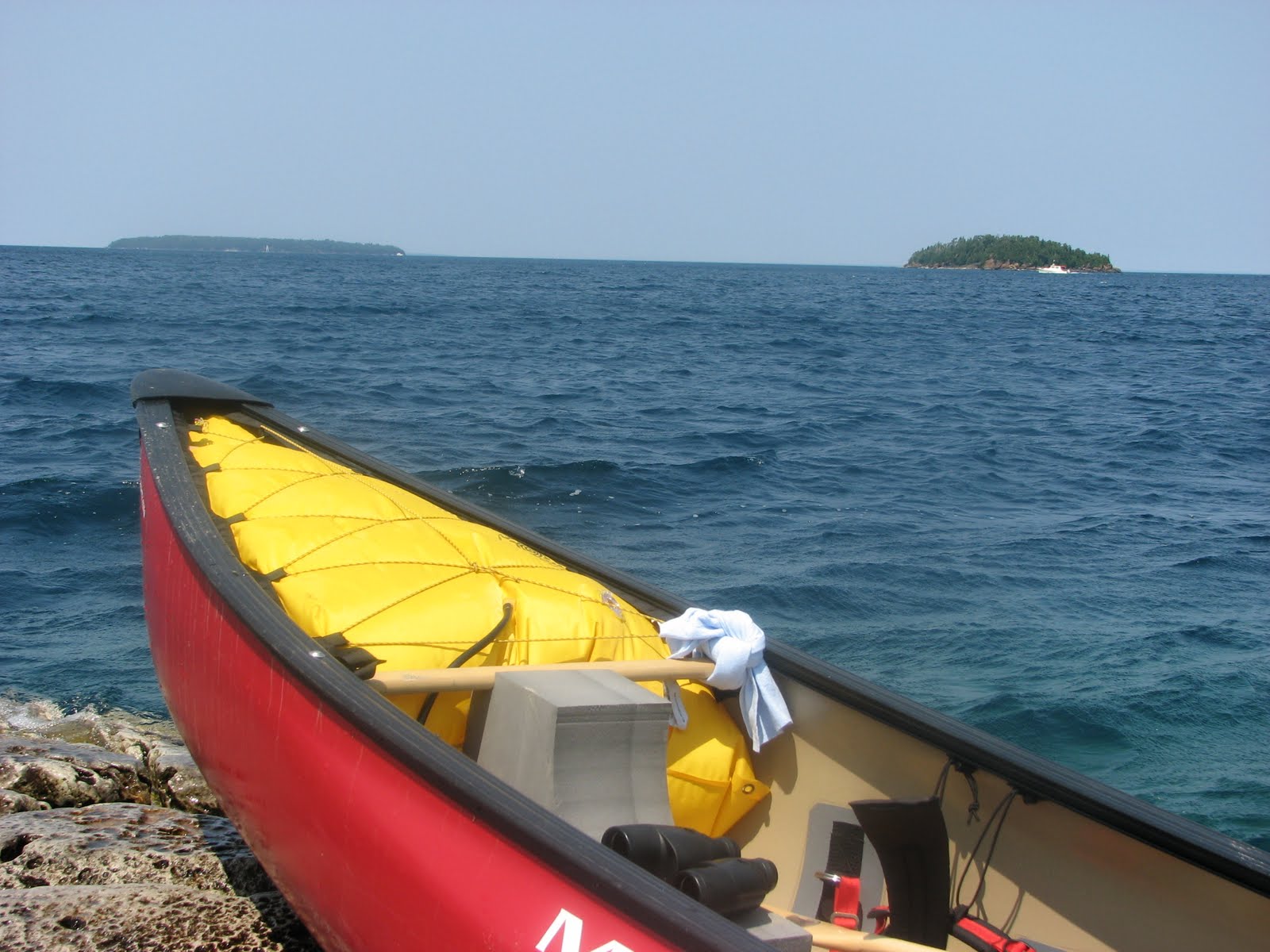
Above: I used to have a hunting canoe as I was thinking it was well suited for multi-types of canoeing. But of course it sucked in rivers. Now I solved the problem by using a river canoe with straping gears (not used here) that suits all the different types of canoeing I do (river, lake, ocean-like, coastal ocean (one day)).


Above: The river crossed, we can guess by the geography that there must be a river ending in front of us. There are two bridges to go under before we start going upstream the riviere Rouge.


Above: Riviere Rouge in sight. Will crossing soon the car bridge. Car bridges are easy to recognize with their typical concrete pillars. Concrete is a wonder material when you don't want infrastructures to last. This is contrary to stoned pillar structure typically used to build train bridges in Quebec (picture bellow).


Above: Train bridges of this type are all over the place in Quebec contry side. They are standing structures that glorify the engineers of the 1920-1950 years. Please come back guys, our crumbling concrete structures needs you.


Above: A zoomed out view of the train bridge.


Above: That is the most upstream the Rouge river we were willing to go. Time for a beer and for a chill out. Later we though we could use the river canoe and cross on the river upstream (on the picture) and go down along the shore across us and then come back up where we are sitting by using the counter-current. D'oh ! not at all. The current to cross above on the picture was way to strong so we ended up being eaten by the big wave in front of us on the picture. After being spitted out the mouth of the wave we went down along the whole path we did upstream and ended up bellow the bridges. Ouf ! It was a 10-15 min long drifting since the current was too strong to get to the shore. That was so stupid of us. I even lost my Arizona State cap because of this (see picture below).


Above: Went evaluate the current where we were planning to cross (I still have my Arizona State cap). In the end my evaluation was so off I wonder what went wrong with me. I am not an expert canoer on rivers but I have still a lot of experience. This part of the red River is raftable. What were we thinking given we had an open canoe in such wavy current. Too much sun from that day maybe.


Above: Preparing  to cross was the last chapter of that canoe day beside recrossing the Ottawa river to Ontario and than driving back to Montreal.

Canoeing on Lac St-Louis from Perrot island

Lac St-Louis is a St- Laurent river enlargement upstream of downtown Montreal (see also other St-Louis lake blog august 2011). Canoe landing was possible at Pointe-du-Moulin (windmill point) at the extreme south-west tip of the island. We asked kayak renting guy before entering windmill gate if could park our car (5$ were asked to allow parking). East side view fromt the tip of Pointe du Moulin show Mont-Royal (pictures below) and west side view show Valleyfield islands and the huge Beauharnois hydro-electric complex (no pictures yet). The seaway allowing cargo to bypass the noumerous obstacle on the St-Lawrence passes just beside the hydro-electric complex. Here are some pictures.


Above: canoe landing spot is circled: Colored code map is from canoeing association Fédération Québécoise de Canot-Camping.


Above: View of the Mont Royal. Left is University of Montreal, centre is St-Joseph Oratory and right is downtown Montreal. Notice by looking at the downtown buildings that Lac St-Louis is approximately 40 story above downtown ground level. From Lac St-louis to downtown Montreal you have the LaChine rapids that brings you 40 story lower !!!! I do not encourage anyone to try the LaChines rapids by canoe. These rapids are very nasty and monstrous. But these rapids are a paradise for kayak surfing I must say for the experienced kayakers only.


Above: Lower zooming view of Mont-Royal


Above: Higher zooming view


Above: Boats needs to know were they are going. The water plans around Montreal islands can be tricky for motor boats as the river although at some point very large has shallow water dispatched around everywhere.